
In developing countries, especially across sub-Saharan Africa, programs and policies developed to address social and economic challenges are still largely designed without data to inform planning. Tangible impact can only be achieved when governments formulate policies and make decisions that are based on accurately generated and analyzed data. However, the capacity to generate and use this data to proffer solutions to social and economic challenges in developing countries still remains low. The Geo-Referenced Infrastructure and Demographic Data for Development (GRID3) Project is an off-shoot of the Global Polio Eradication Initiative’s mapping of 11 northern states in Nigeria. The objective was to support health workers to optimize resources and improve their outreaches by providing them with population estimations and geolocations of settlements.
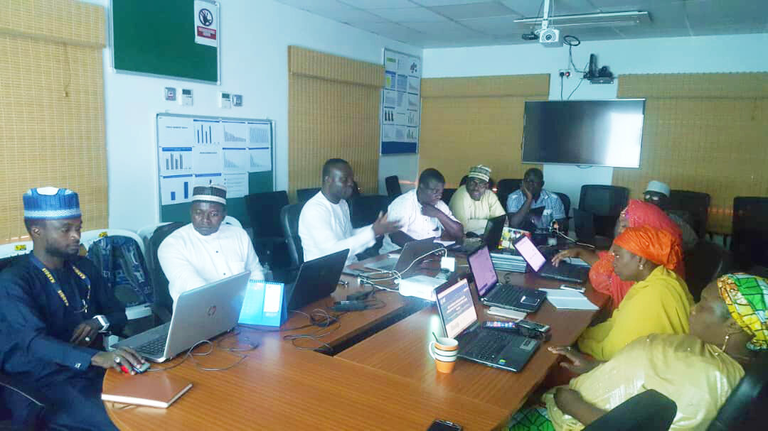
With the mapping of all 36 Nigerian states and FCT complete, the GRID3 project focused on providing support to states to use this data for decision-making. In Kaduna State, the GRID3 team worked with the Kaduna State Bureau of Statistics (KDBS) to improve the Bureau’s data input processes, data management, and data analysis capacity, ensuring that the state could make effective use of the GRID3 data for improved decision-making, resource allocation, and intervention planning. Kaduna was the only state in Nigeria to have received, under the GRID3 project, this depth of support, including a transfer of data management technology and access to a full time embedded data analyst providing day-to-day technical assistance to the state team. This pilot intervention was developed in order to demonstrate the way in which the GRID3 data and improved data management could positively influence the way in which the government runs. In the final quarter of the support from eHealth Africa to the Bureau, the team began to effectively use the GRID3 data and apply their newly acquired skill sets in data management and data use, including in map automation and generation.
Mr. Yusuf Dauda, the Head of the GIS Division of the Bureau, was one of the recipients of this training and with his team, has produced over two hundred (200) base maps with points of interest and other features such as roads and boundaries added, to assist a team of enumerators to navigate various communities during a recent energy survey. The goal of the survey was to identify all the transformers in four hundred and ninety-four (494) communities. The survey would confirm the coordinates of the communities and transformers and allow the State to estimate the population in the target areas that currently have access to electricity.
“I am particularly happy about the trainings I received from eHealth Africa on map production and microplan generation. They are very useful for me and my team. We can now generate maps that can be used by other departments and bodies in the State.”
The maps produced by Mr. Dauda and his team helped during the planning and implementation stages of the survey as enumerators were able to navigate the communities easily. In addition, the data collected from this survey helped the Kaduna State Power Supply Company (KADSCO) to plan the distribution of alternative energy sources in the State.
In addition to this, Mr. Dauda’s division also generated base maps for the twenty-three LGAs in Kaduna State to supplement the school directory data. The State Universal Basic Education Board and the State Ministry of Health are currently using the maps to determine the locations and availability of schools in the state for planning. Mr. Dauda is pleased that his unit is better able to support the state to plan and execute programs accurately. Now that KDBS is able to produce accurate data and information, Kaduna is well on its way to improve the quality of life for its citizens.
“Our governor, His Excellency, Mallam Nasiru El Rufai doesn’t do anything without data. We (KDBS) generate data, and the governor uses it.”
Download this story

Read more