Blog — eHealth Africa - Building stronger health systems in Africa

eHA At The First Global Summit On Food Fortification In Tanzania

LEFT - Dr. Sarma C. Mallubhotla, Program Manager for Health, Nutrition, and Agriculture. RIGHT - Ms. Patrizia Fracassi, Senior Nutrition Analyst and Policy Advisor, Scaling Up Nutrition Movement Secretariat (Office of the Special Representative for Food Security and Nutrition, Geneva).

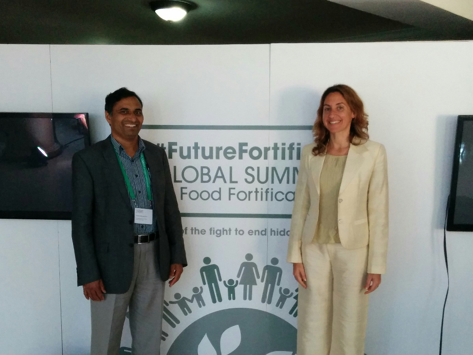
eHealth Africa was honored to participate in the first ever Global Summit on Food Fortification, September 9 - 11, 2015, held in Arusha, Tanzania. eHA was represented at the summit by Dr. Sarma C. Mallubhotla, Program Manager for Health, Nutrition, and Agriculture. The summit drew 450 delegates representing 57 countries, as well as many leaders from major businesses, academic institutions, and international organizations.

The Need For Food Fortification Worldwide

The summit began with a greeting by the Prime Minister of the United Republic of Tanzania, the Rt. Hon Mizengo Pinda. African Union Nutrition Champion HRH King Letsie III of the Kingdom of Lesotho also presented.

Dr. Chris Elias, from Bill & Melinda Gates Foundation set the tone through his keynote address “Food for Thought”: “Where do we stand after a century of fortification? Around half the population globally are malnourished and each day 805 million people go hungry.” Particularly affected are low-income population groups that do not have sufficient resources to afford a balanced diet, as well as children and pregnant and lactating women. The micronutrient deficiencies have severe consequences as the immune system is weakened and the risk of infectious diseases and subsequent mortality increases.  Moreover, these deficiencies stunt growth and development, lower performance and productivity, and thus result in lowered incomes, economy, and ultimately poverty.  

“Where do we stand after a century of fortification? Around half the population globally are malnourished and each day 805 million people go hungry.”

Dr. Reina Engle-Stone from the University of California Davis highlighted the need for better coordination and coherence of nutrition programs over space and time to address micronutrient malnutrition, and advocated for a “economic optimization model” to enhance coverage. According to the Copenhagen Consensus, the return on investment of food fortification is one of the highest development dividends with an estimated benefit: cost of fortification is around 30:1. Hence nutrition and fortification, truly, is one of the world’s best humanitarian investments!  

eHA’s representative Dr. Mallubhotla held many meaningful discussions with leading personalities in the field of food fortification, as well as one-on-one interactions with experts from development organizations on some of the Africa-specific nutrition security issues. 

“The role of ‘technology-driven’ organizations like eHealth Africa,” said Dr. Mallubhotla, “is of paramount importance in collecting right data using GIS-software platforms, and smart use of data analytics. This provides the results of nutrition programs to decision makers, and thereby enhances the enabling environment in target countries.”

As per the Arusha Statement, “Preventable deficiencies of critical vitamins and minerals such as Vitamin A, D, iron, iodine, folic acid and zinc contribute to up to 3 million child deaths annually. The best available estimates point to 2 billion people that are affected by micronutrient malnutrition, but it is highly probable that the burden is even greater, as we lack precise data.”  

The Solution Food Fortification Provides

Food fortification is an effective and inexpensive solution to combat hidden hunger. The WHO estimates that, in particular, 140 to 250 million children under five years of age are suffering from vitamin A deficiency worldwide.  Additionally, women with vitamin A deficiency are at a much higher risk of dying during pregnancy or childbirth. 

The Food Fortification Summit also held a session on the role of fortification and the 1,000-day window with a special focus on Iodine and Folic acid.  Country delegations shared their fortification experiences with highlights and key achievements.

Great efforts and investments by international development partners in low and middle-income countries have provided key experiences and lessons in the past several decades for sustainable scale-ups in food fortification to achieve maximum impact. 

What It Will Take To Make It Happen

In general, education of consumers regarding the benefits of micronutrients and healthier diets are required. Although adding micronutrients to food is a relatively simple process, there are several technical, social, and economic challenges associated with implementing sustainable fortification programs in developing countries.  Strong cross-sector partnerships need to be built to overcome these challenges and reach the goal of breaking down malnutrition, and the Global Food Fortification Summit was a hugely successful forum toward that goal. 

Africa Open Data Conference in Tanzania

The Inaugural Africa Open Data Conference was held in Dar es Salam, Tanzania between 2-5 September, 2015. The open data conference was a follow-up to a high level Conference held in Addis Ababa on 25-29 March, 2015, which gave birth to Africa Data Consensus. The consensus was created as an Africa Open Data revolution to empower and enlighten African citizenry, requesting more action from their government and a road map for Country-led Data Revolution recommendations.

The open data conference aimed to bring together stakeholders in the data industry in Africa from government to the private sectors, NGOs, international development agencies and citizens to discuss progress and achievements of open data, and to educate as well as determine the next line of actions. 

“Data is considered to be “open” if anyone can freely use, re-use and redistribute them, for any purpose, without restriction." World bank, Open Data in 60 Seconds

There were talks on strategies for the harmonization of actionable data in Africa, open data readiness assessment, and open data toolkits as well as training and empowerment with necessary support for the next generation of open data specialists in Africa.

Exploring Open Data 

Data is important, and open data deepens the link between policies and the impact they will have on the populace.

The pre-conference program schedule commenced on September 2nd with two full days of informative sessions. Topics covered include understanding open data, data revolution, and building data communities. There were sessions on education, business community, and open data in government. 

The conference proper started on September 4th with the highlight being the visit of the Tanzanian president, who delivered a speech on the importance of open data for Africa's development and how much it has been adopted by African heads of states. He made mention of the Africa Union Peer Review Committee whereby African heads of states' performances are independently reviewed to confirm if the progress and development reported conforms with what is truly happening on ground. He also made mention of Tanzanian government progress on open data, and explained why certain data or information cannot be made public for security reasons.

Other organizations, international development agencies, NGOs and government representatives had the opportunity to showcase their open data programs and portals, as well as the need for the populace to consume the data being made open for citizenry participation. It is not enough to make data open, it is more important that the data is used and consumed.

In addition to talks on various types of data including the importance of geospatial data, there were also debates on the importance of data format and putting data out in machine readable formats like CSV. Gone are the days when important information and actionable data are shared in PDF format, which makes it difficult to interact with. When you have data in machine readable formats and APIs, more actions and interaction can be inspired with developed apps.

There was an Open Data Expo and stands/booths from various organizations and players in the open data community. The exhibition ranged from various types of data, both numerical and geospatial data, to various technology and platforms to host, participate, collect and contribute to the data revolution drive going on around the world and in Africa.

Open Data Benefits and Next Steps

The benefits of open data are numerous, benefits of which the African continent stands to rediscover itself. These benefits include promoting accountability and transparency, translating to development and informed decisions in the private sector and helping create an inclusive society.

Key action areas discussed include the need for government to give access to more data for the sake of open government, and to strengthen the country National Statistical Offices. There must be more awareness for the citizen to access open data, and for the media to play a big role so that the Sustainable Development Goals can be achieved.

At eHealth Africa, we have already embraced the open data revolution with our open data portal, which gives free access for anyone to make use of our data for any reason.

Visit our Open Data Portal here: http://data.ehealthafrica.org/

An Intern's Experience On The Geographic Information Systems Team

My name is Samantha Tedford. I am an undergraduate student studying Geography and the Environment at the University of Texas, Austin in the United States. For the past two months I worked as an intern with the Geographic Information Systems team (GIS) at eHealth Africa (eHA) in Kano, Nigeria. 

Working with the eHA GIS team in Kano was a life changing experience for me professionally, academically, and personally. I learned more in two months than I could have from a full semester of GIS classes. The GIS team was patient with me when I was trying to understand the work that eHA does particularly with polio and vaccination tracking, and they were a great resource for me throughout the duration of my project. I loved working with the team who are all dedicated professionals, and I am lucky to be able to call them my friends. 

What is the Geographic Information System?

A Geographic Information System (GIS) is essentially a tool which allows its user to manipulate, visualize, analyze, and interpret spatial data. eHA’s GIS team, in collaboration with others, has created a highly robust GIS over the past three years from areas that were previously unknown. eHA’s GIS contains information about settlements, cities, roads, administrative boundaries, geological features, and points of interest such as health facilities, markets, and schools in eight project states across Northern Nigeria. The GIS of Northern Nigeria was built up through the years by a series of data collection techniques. 

One of the first methods of gathering spatial data in this region was remote sensing (RS). The data gathered by the RS projects alongside other satellite imagery was used to feed a process of semi automatic feature extraction and classification. This involved a program reading the reflectance values given by the RS data collection and using predefined rules to sort the various areas of Northern Nigeria into their feature category (settlement, forested area, waterbody, road). This being a semi automatic process, it still required and continually requires quality checking and frequent updating by the GIS team. The RS results are supplemented by routine data collection campaigns in which teams of Data Collectors physically go into the field carrying GPS enabled devices and gather information about the specific coordinates of points of interest or settlements, names of settlement areas or wards, and any other information needed to strengthen the GIS. All of this data is integrated into the GIS by the GIS team and continually undergoes stages of quality checking, data cleaning and frequent updating. 

What is the practical application of GIS in Northern Nigeria?

The GIS of Northern Nigeria is used to support a number of projects within eHA by providing highly detailed and accurate maps, navigation and routing planning and support, and supplying the foundation for other projects such as the Vaccination Tracking System. eHA’s GIS data supports the polio program specifically through providing a variety of maps that can be used to assist in the micro planning process before a supplementary immunization campaign (SIA). These basemaps ensure that every SIA, know as an Immunization Plus Days (IPD) in Nigeria, is as efficient and effective as it can be. 

My internship project was to perform an evaluation of the Vaccination Tracking System in conjunction with the GIS data to determine what effects the program. I began by collecting data about Wild Poliovirus in Nigeria from a variety of external sources. After collecting and integrating that data, I created a variety of maps both static and animated to search for trends in WPV distribution both spatially and temporally. Then I gathered data from the Vaccination Tracking System which involved gathering data from 32 tracked SIA campaigns across three years. Once I had completed that process I created an interactive map in which both the WPV cases and the VTS coverage areas and quality of coverage in those areas was visualized simultaneously and controlled by time. I used my understanding of WPV in Nigeria, eHA’s GIS and VTS, and the data I had collected to explore the ways in which WPV, GIS, and the VTS impact one another. At the end of my project I gave a presentation on my analysis and results, and wrote a report on the topic of my observations and findings which included the 40 maps I produced. 

What I learned from the internship

The internship was valuable to me and my studies as a geography student with a focus in GIS and sustainability. I gained professional experience working alongside highly experienced and leading GIS specialists by learning more about the building and maintenance of a good GIS, as well as various data collection techniques, vaccine direct delivery, cartography, and technical writing. I now better understand concepts in GIS and GI science as I have seen how they can be practically applied in a workplace. 

Overall, I loved my experience as an intern with the GIS department and would recommend others to join eHA as an intern across their wide spectrum of work. Not only did I learn a great deal about the intersections of GIS and public health from my project, but I also learned a lot from my coworkers about kindness and respect for cultural diversity in the workplace.